This property has sold.
The interactive map and property-line walking tools remain available. Driving directions are not provided for sold properties.
Interactive property map
Explore this property map.
Switch aerial, topographic, soil, water, contour, and terrain layers while the mapped project boundary stays visible.
Property Description
Tract 6 - Demazie Hollow on Shawnee State Forest
5 Acre Off Grid Recreational Retreat
Lower Twin Creek Road, Stout, Ohio
5.010 Acre Beautiful Wooded Recreational Retreat (New Survey)
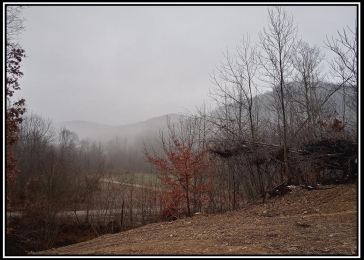
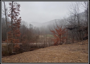
Tremendous Views
Outdoor Paradise for Rugged Outdoor Enthusiasts
Borders Shawnee State Forest 64,000 acres of Public Hunting and Recreation
Loaded with Wildlife, Excellent Deer and Turkey Hunting
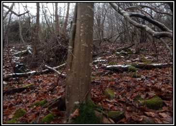
Rugged Terrain
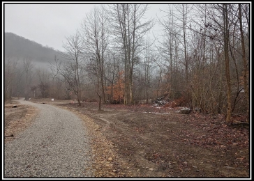
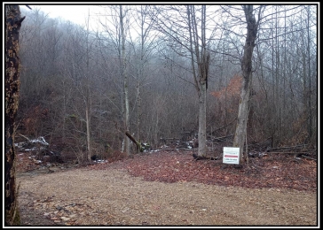
New gravel driveway installed to cleared Cabin/Camper site
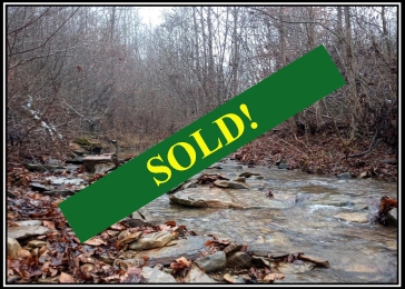
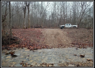
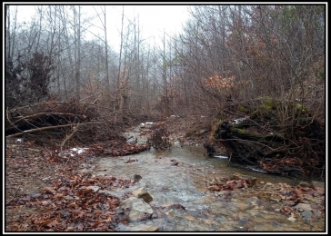
Seasonal Rocky Stream flows through the property
New Gated Gravel Access Easement Road Installed (ford through Lower Twin Creek)
Property Lines Marked Very Well
Off Grid - No Utilities Available - Limited Cell service
Additional Acreage Available
All Mineral Rights Transfer with No Active Leases (ATO)
No Zoning and No Deed Restrictions
Only Minutes to the Ohio River
Green Twp, Adams Co
Adams Co/ Ohio Valley School District
Parcel # 1790000002006
Demazie Hollow is located:
5.6 Miles to US52 along Ohio River (Ohio Scenic River Byway)
13 Miles to Shawnee State Park, Lodge and Turkey Creek Lake
20 Miles to West Union
23 Miles to Manchester
23 Miles to Portsmouth
71 Miles to Cincinnati
100 Miles to Dayton
104 Miles to Columbus
Google Map Link
Lower Twin Creek Road, Stout, Ohio 45684
GPS Coordinates : 38.69278, -83.31295
More tracts in Demazie Hollow