This property has sold.
The interactive map and property-line walking tools remain available. Driving directions are not provided for sold properties.
Interactive property map
Explore this property map. Switch aerial, topographic, soil, water, contour, and terrain layers while the mapped project boundary stays visible.
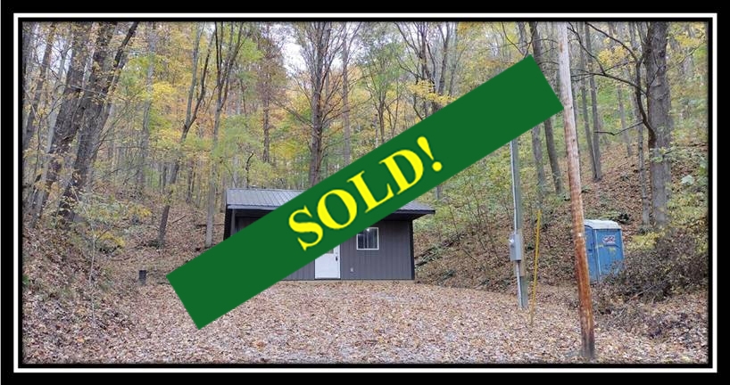
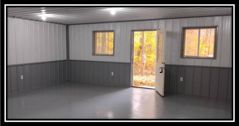
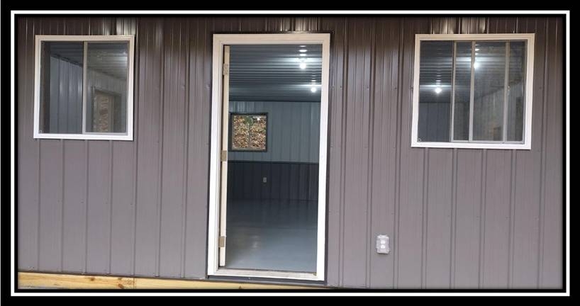
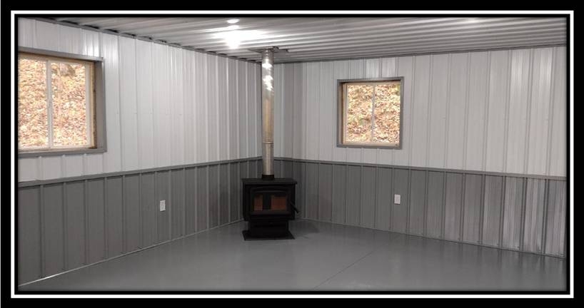
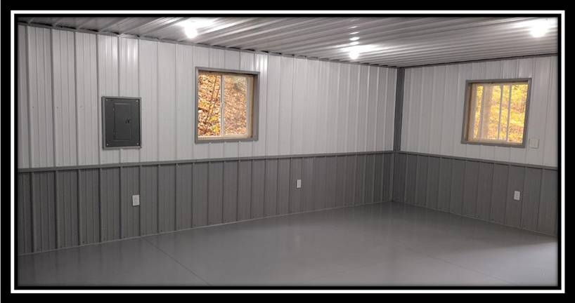
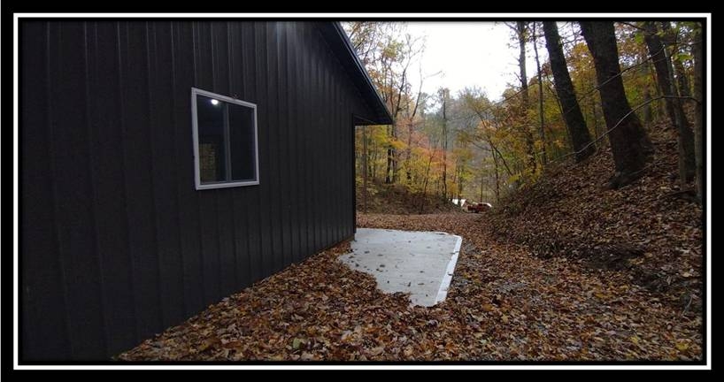
Property Description 2169 Mohawk Coal Rd, Wellston, OH 45692New 24 x 24 Metal Pole Style Cabin with Concrete Floor
Insulated and Finished Interior with Wood Burning Stove
Fully Wired with Buckeye Rural Electric Power
6 x 24 Covered Front Patio
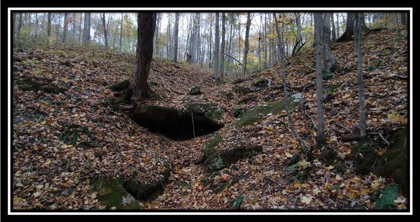
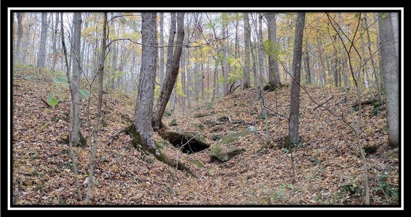
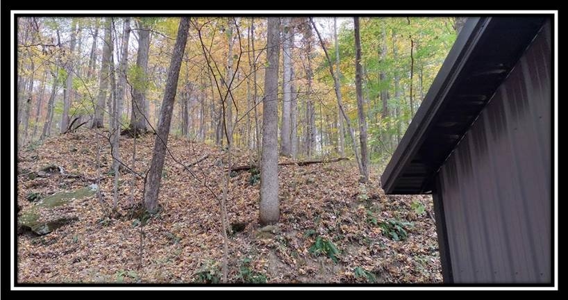
Side Patio with Beautiful Views of Woods and Rock Outcroppings
Camp, Play or Stay, Great for Family Retreat
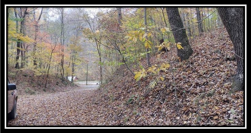
New Gated Gravel Driveway
Owned Port-a-john out house
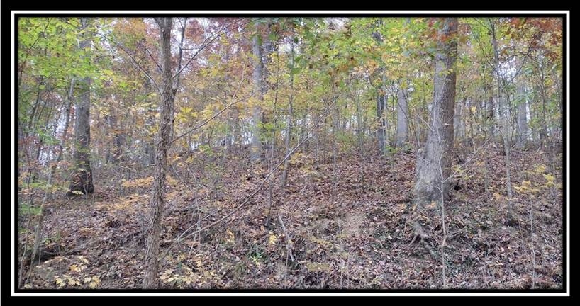
Beautiful Mature Woods with Rock Outcroppings
Walking Distance to Buckeye Furnace State Memorial
Very Easy Access to Broken Aro and Flint Run Wildlife Areas (Thousands of Acres of Public Recreation)
Beautiful Remote County Setting, only Minutes to all of the conveniences of town
Water wells in the area are 101-150 feet deep producing 3-44 gpm
New Survey (7.926 Acres)
No Zoning and No Deed Restrictions
Milton Twp, Jackson County
Northern Local School District
Parcel #J180030014500
Taxes are currently $117.88 per year 1 Mile to Buckeye Furnace State Memorial
1+ Miles to Broken Aro/Flint Run Wildlife Areas
8 Miles to Wellston
12 Miles to Jackson
30 Miles to Athens
80 Miles to Columbus
110 Miles to Dayton
113 Miles to CincinnatiCountrytyme Maps and Additional Information A Countrytyme advantage
Take the property lines into the field. On your phone, tap Walk property lines , allow your location when asked, and follow the blue dot in Tract Explorer to see your position in relation to the mapped boundary while you explore.
Walk property lines Property photos Show 2 more photos