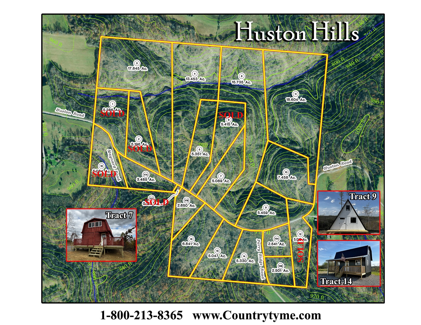
This property has sold.
The interactive map and property-line walking tools remain available. Driving directions are not provided for sold properties.
Interactive property map
Explore this property map. Switch aerial, topographic, soil, water, contour, and terrain layers while the mapped project boundary stays visible.
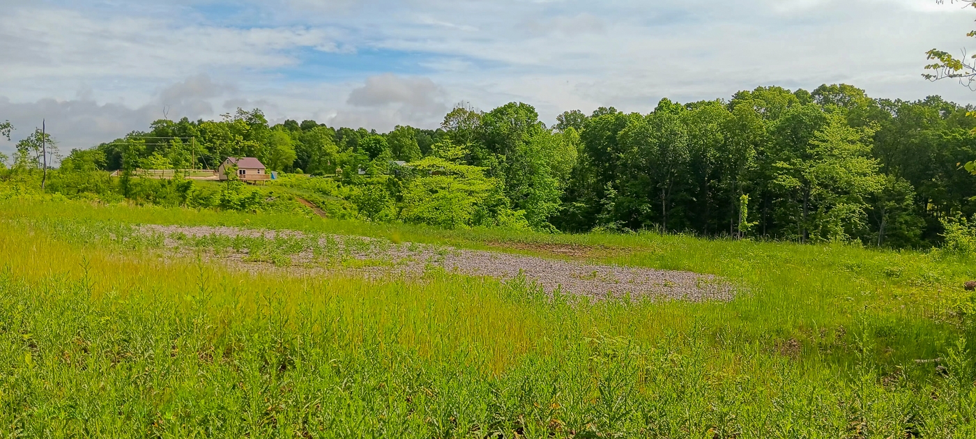
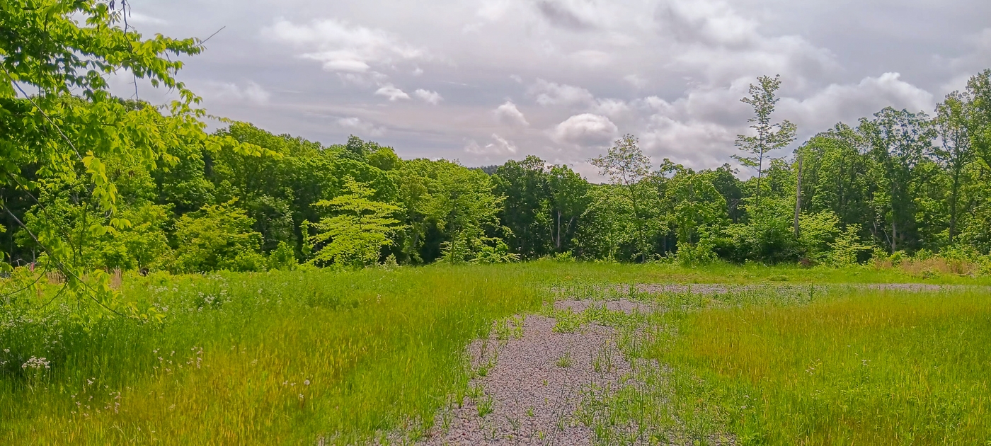
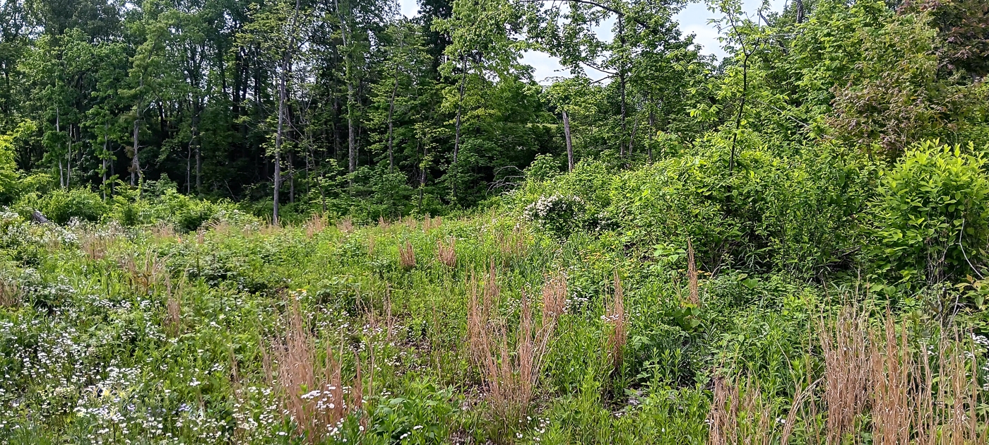
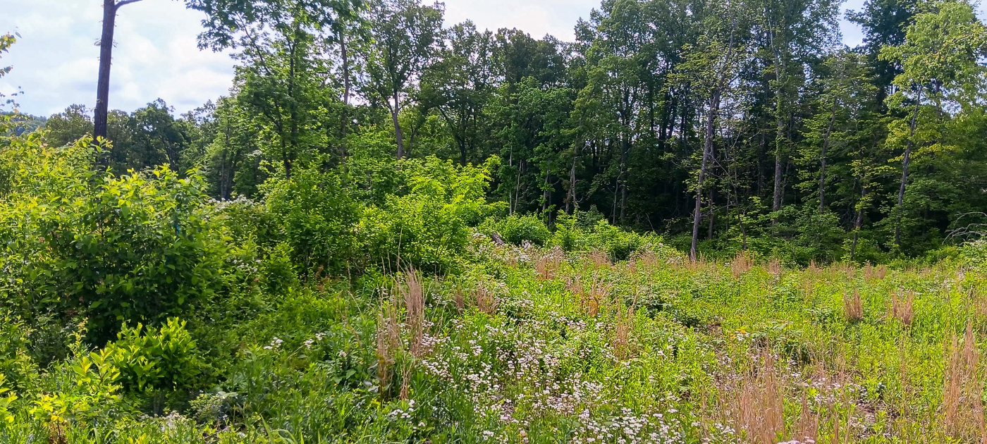
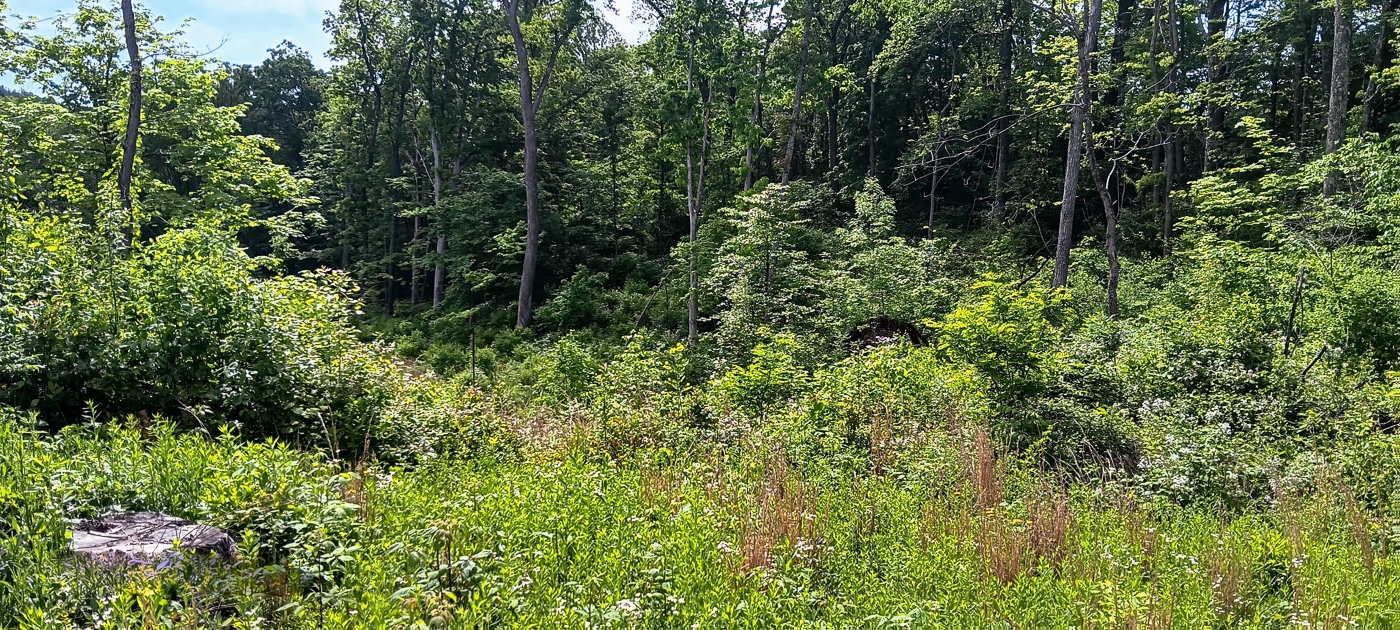
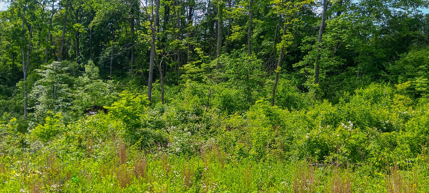
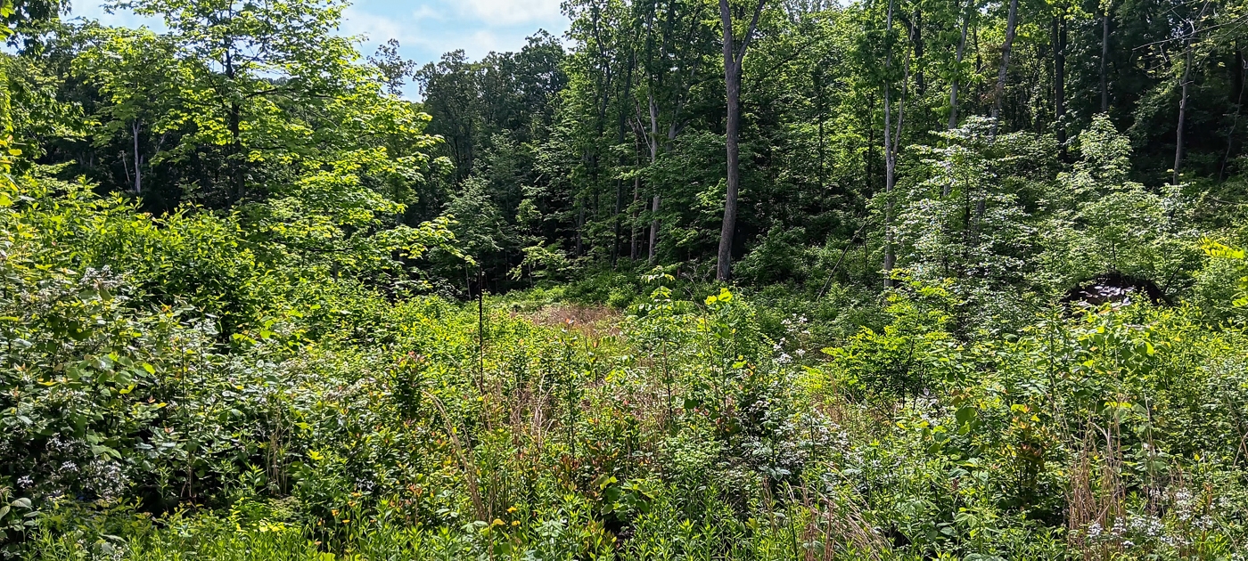
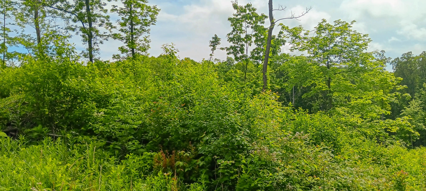
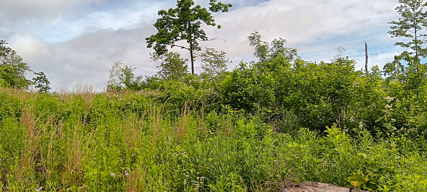
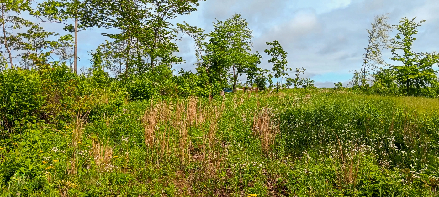
Property Description Tract 13B – Huston HillsExcellent Home/Cabin Site or Recreational Retreat
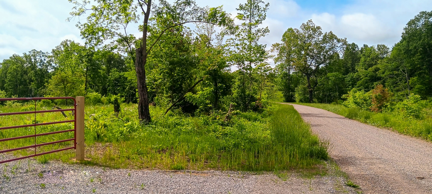
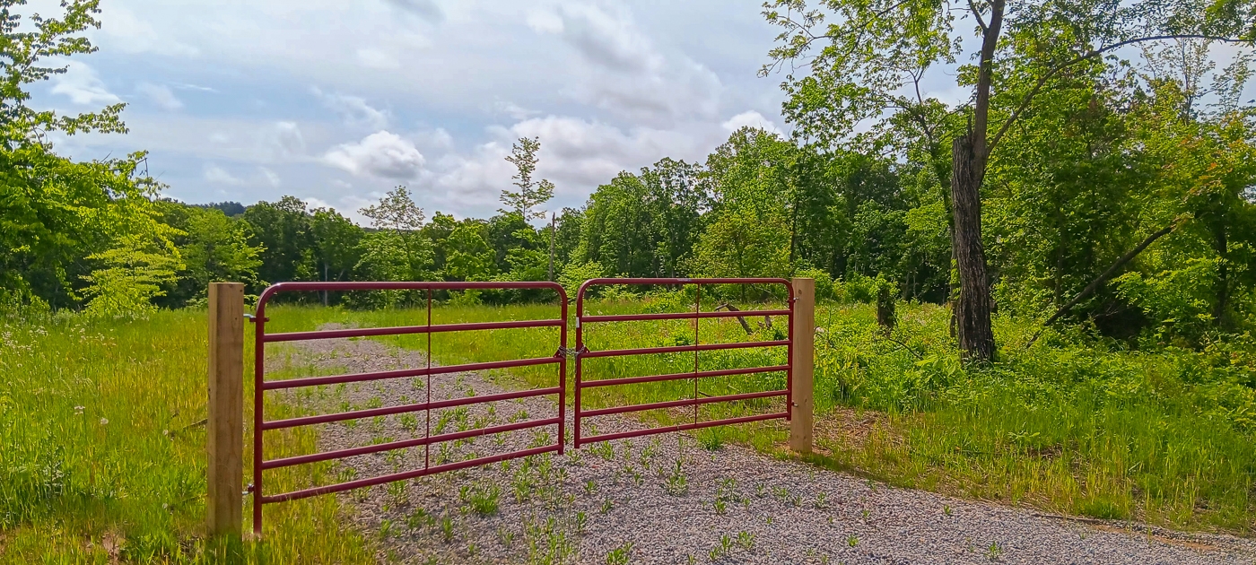
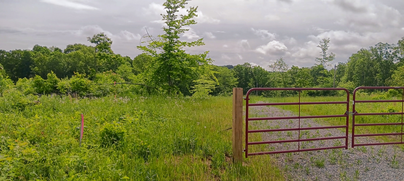
New Gated Gravel Driveway
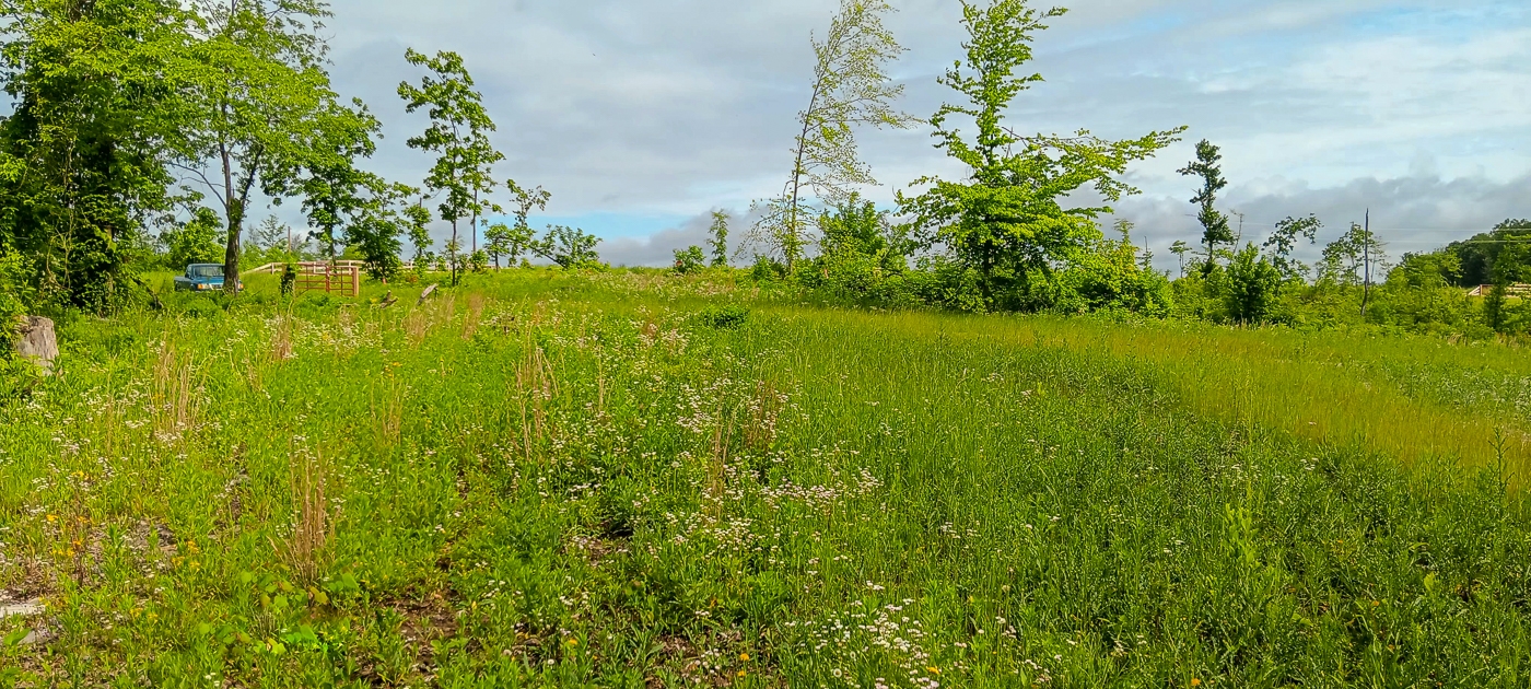
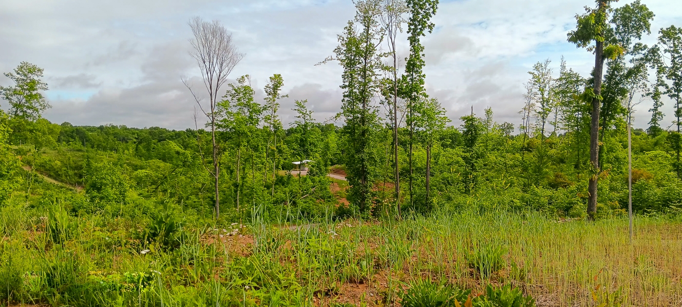
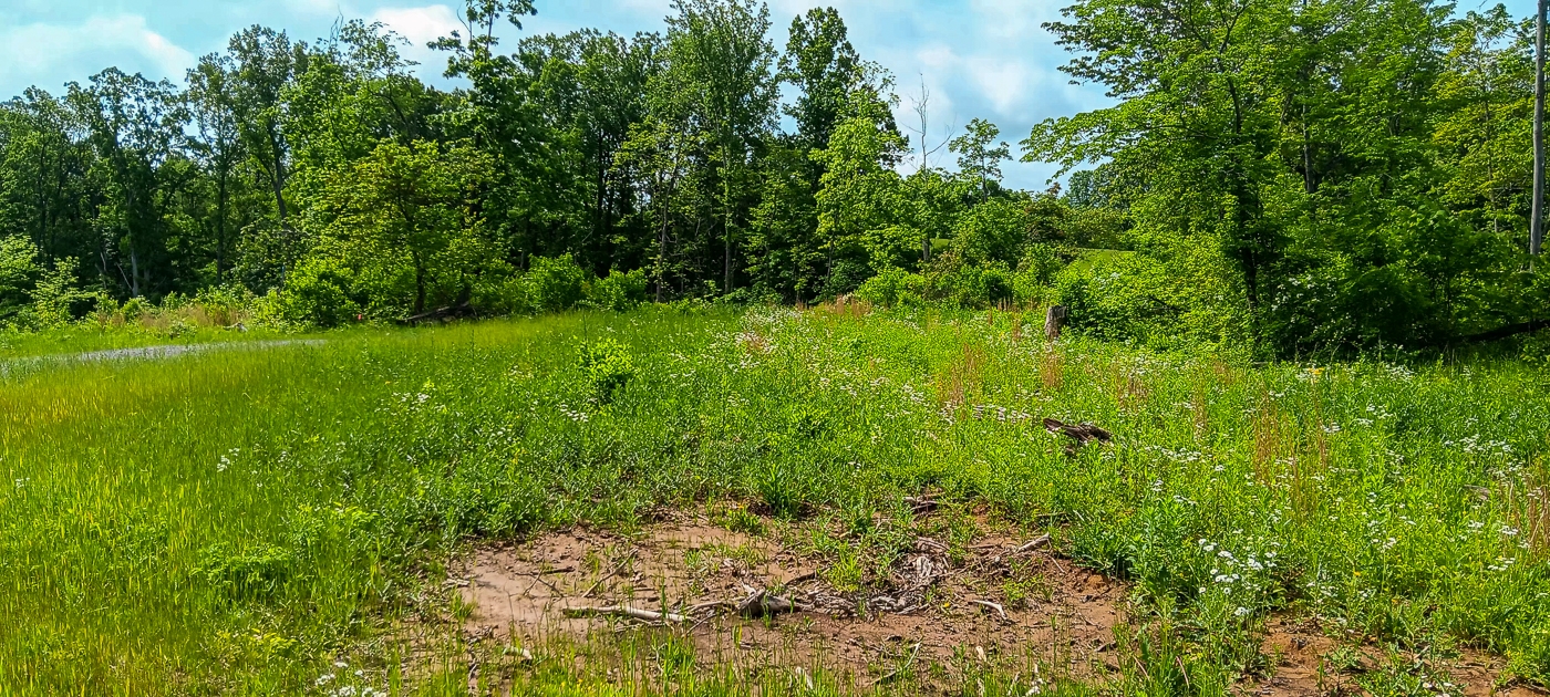
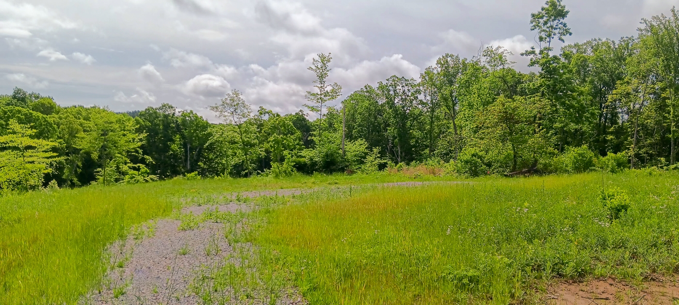
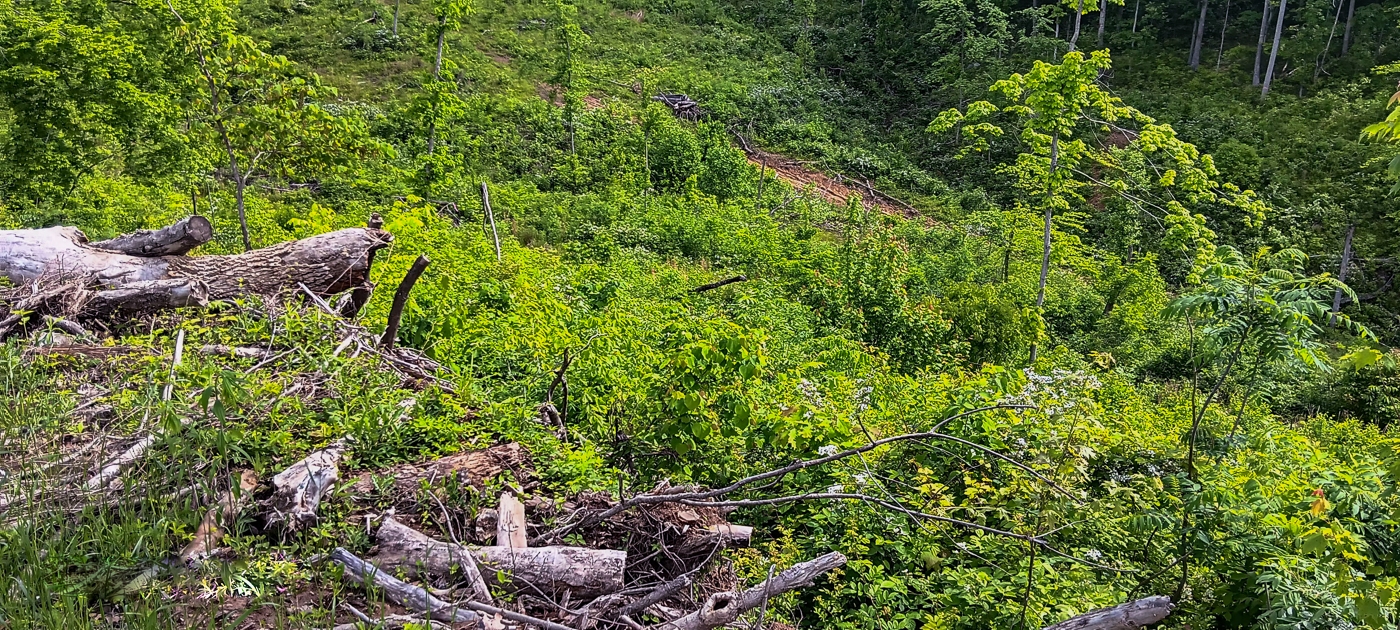
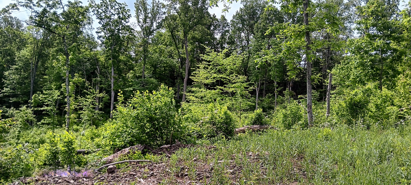
Gentle Terrain
Stunning Views
Beautiful Hocking Hills Region
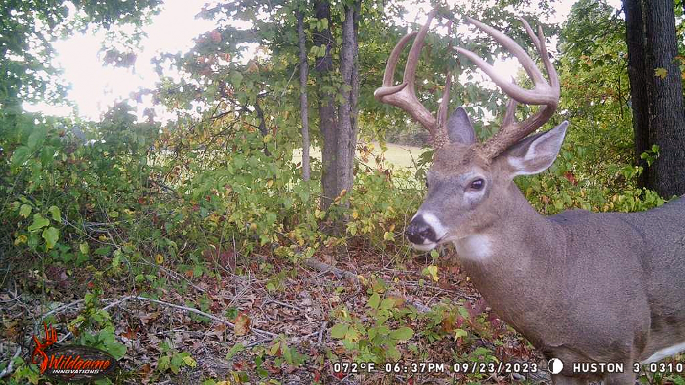
Abundant Wildlife
Excellent Base Camp for Hunting
Deer and Turkey Hunting at Nearby Forests
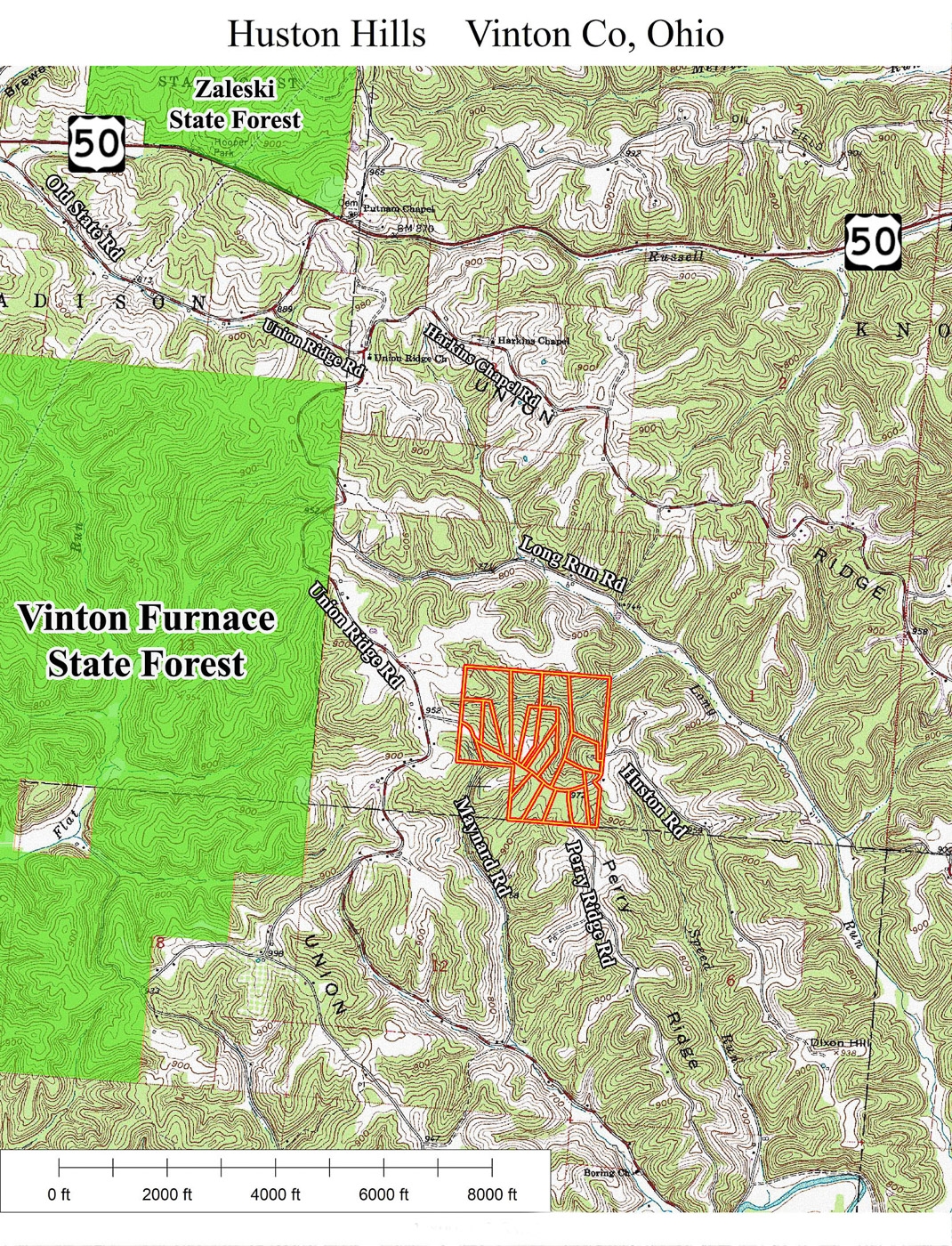
Only minutes from Vinton Furnace State Forest, Zaleski State Forest, Wayne National Forest and Hocking Hills
Endless Recreational Opportunities both on the property and in the area
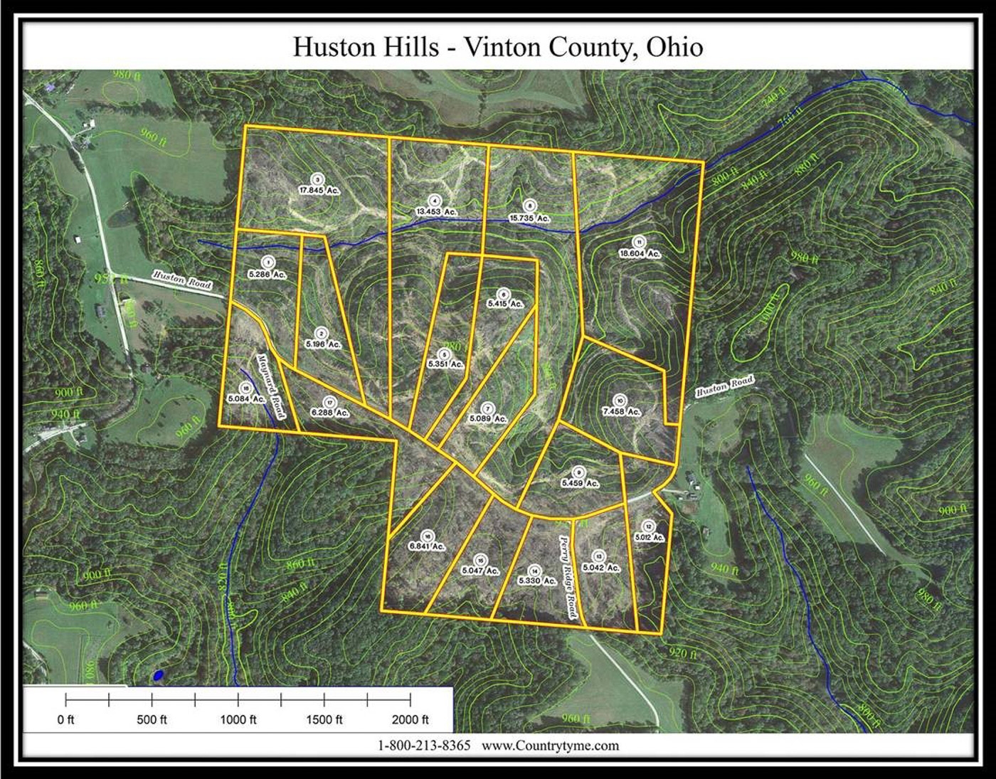
2.501 Acres (New Survey- Tract 13B, Fully Approved and Recorded)
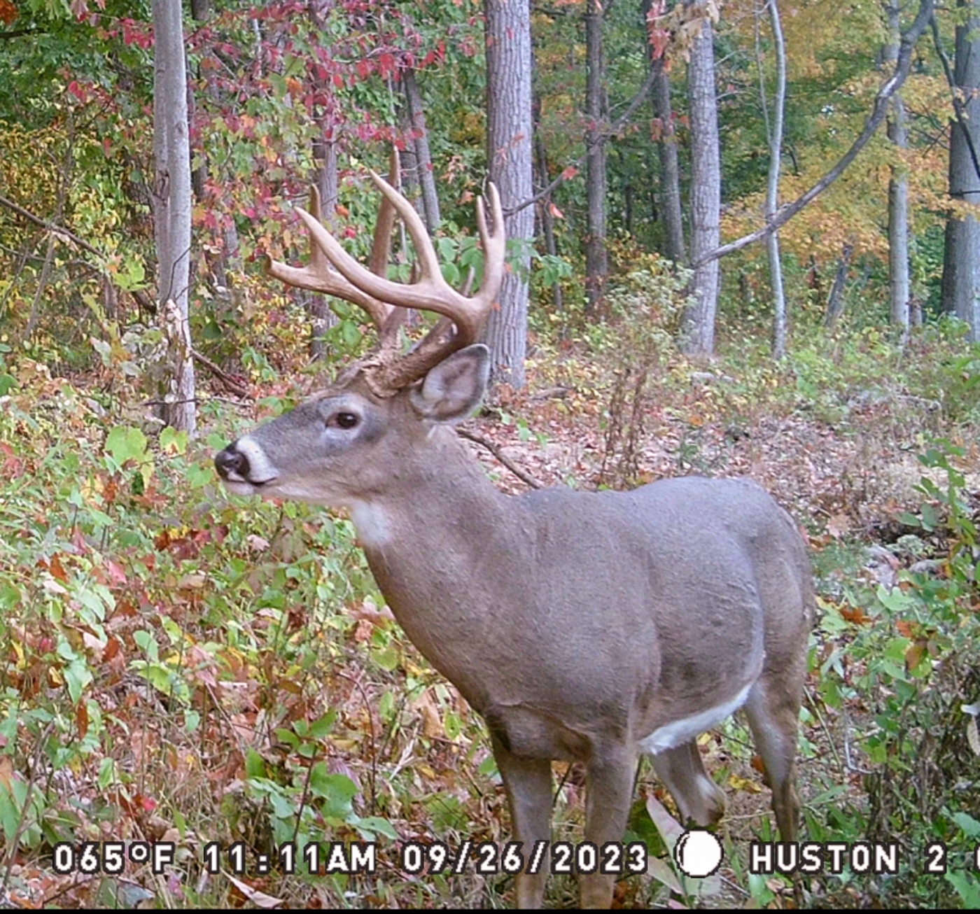
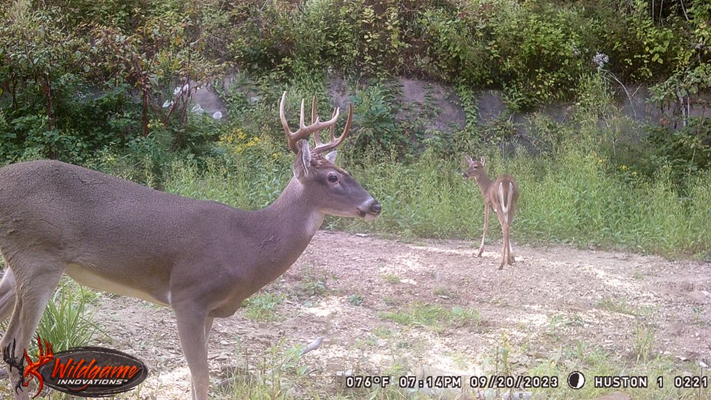
Deer Pics from Nearby Tracts
Additional Tracts Available
No Zoning
Minor Deed Restriction: No more than 2-bedrooms unless approved
Soil Testing Complete for On-Site Septic
Oil and Gas Rights Transfer with No Active Leases (ATO)
LeAx Water Available at the Road
Buckeye Rural Electric Available at the Road
Vinton County Local School District
Knox Township, Vinton County
Parcel # 09-00257-013 .7 Miles to Vinton Furnace State Forest
2.5 Miles to Zaleski State Forest
9 Miles to McArthur
11 Miles to Lake Hope
16 Miles to Wayne National Forest
18 Miles to Athens
24 Miles to Ash Cave
28 Miles to Old Man’s Cave
32 Miles to Logan
71 Miles to Columbus Countrytyme Maps and Additional Information More tracts in Huston Hills A Countrytyme advantage
Take the property lines into the field. On your phone, tap Walk property lines , allow your location when asked, and follow the blue dot in Tract Explorer to see your position in relation to the mapped boundary while you explore.
Walk property lines Property photos Show 13 more photos