Walk this property with confidence.
Use GPS directions to reach the tract. Then open the property lines on your phone and follow your blue location dot as you walk, so you can see where you are in relation to the boundaries.
Interactive property map
See the land before you visit.
Switch aerial, topographic, soil, water, contour, and terrain layers while the mapped project boundary stays visible.
Property Documents
Property Description
The Ponds at Poplar Ridge – Tract 39.027 Ac Home/Cabin Site or Recreational Retreat w/ Pond
Nibert Rd, Cheshire Twp, Gallia Co, Ohio
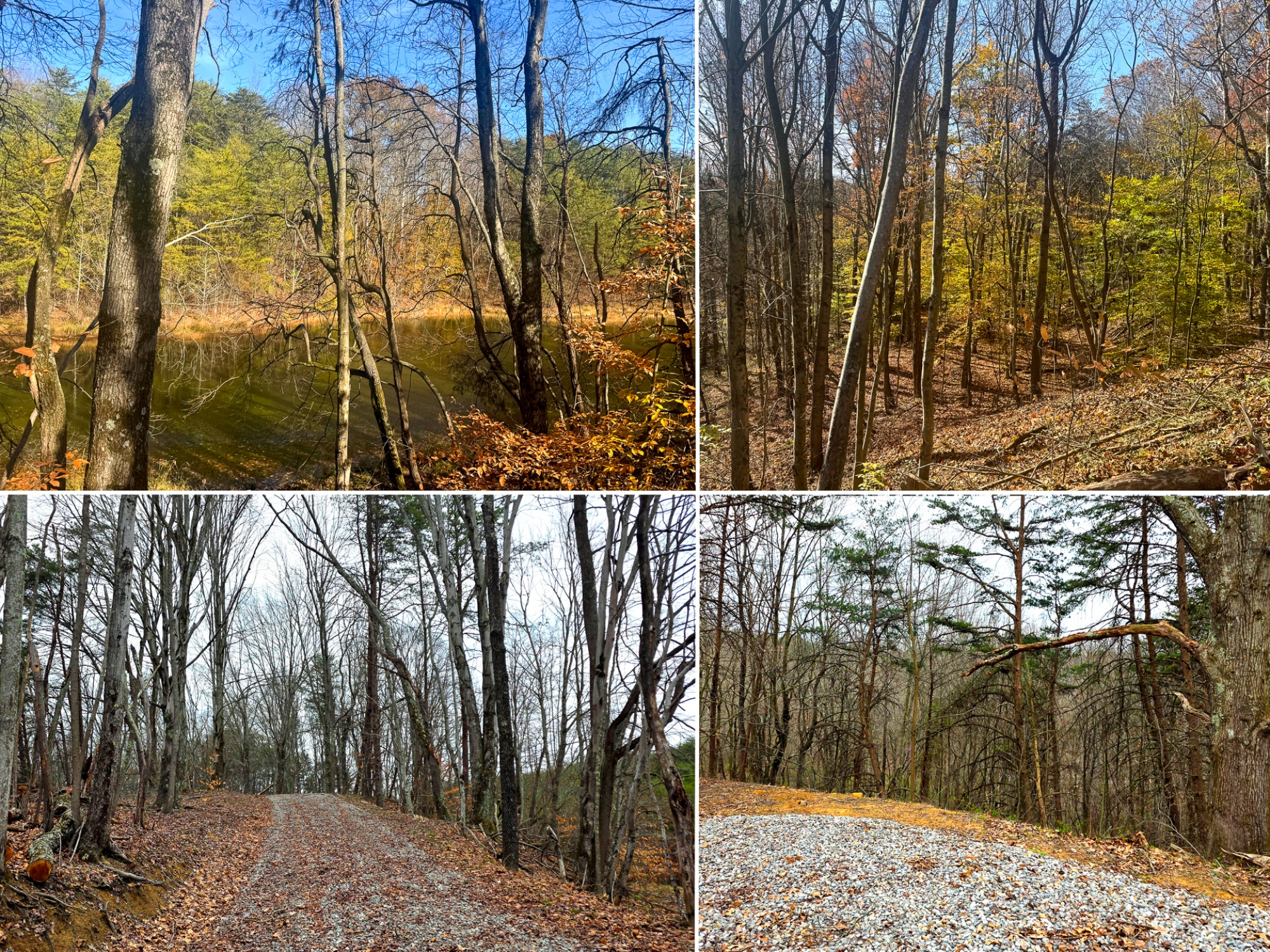
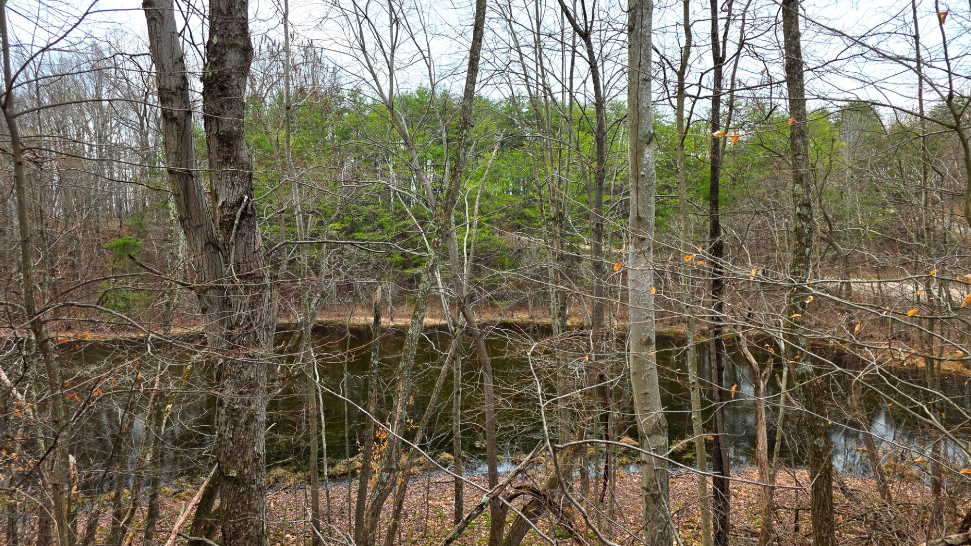
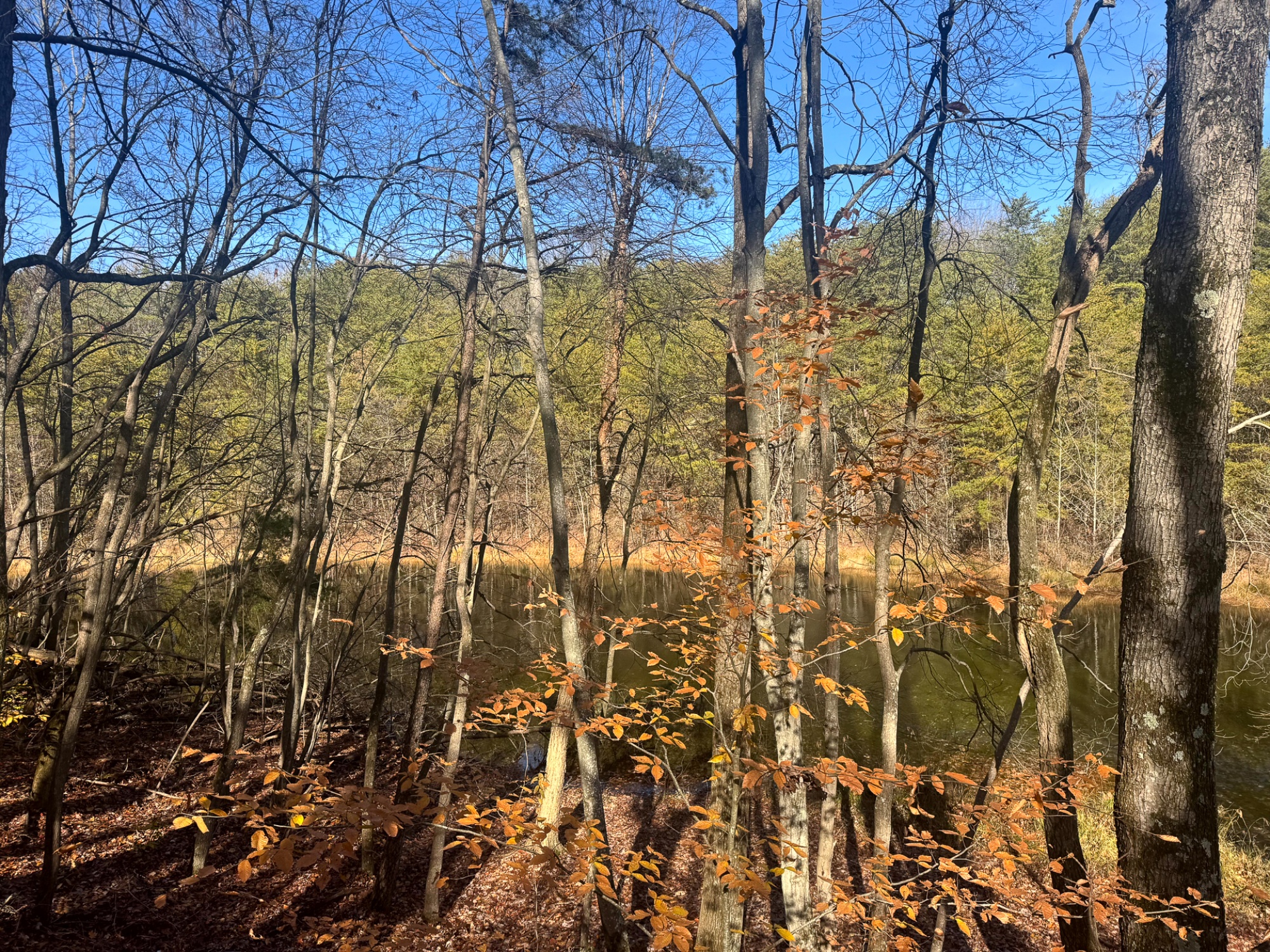
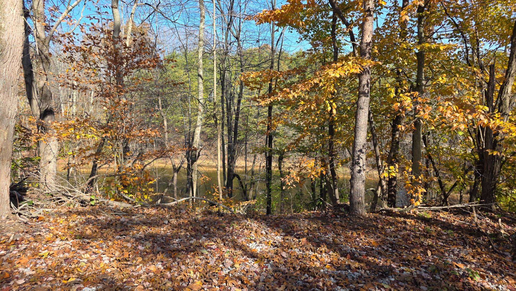
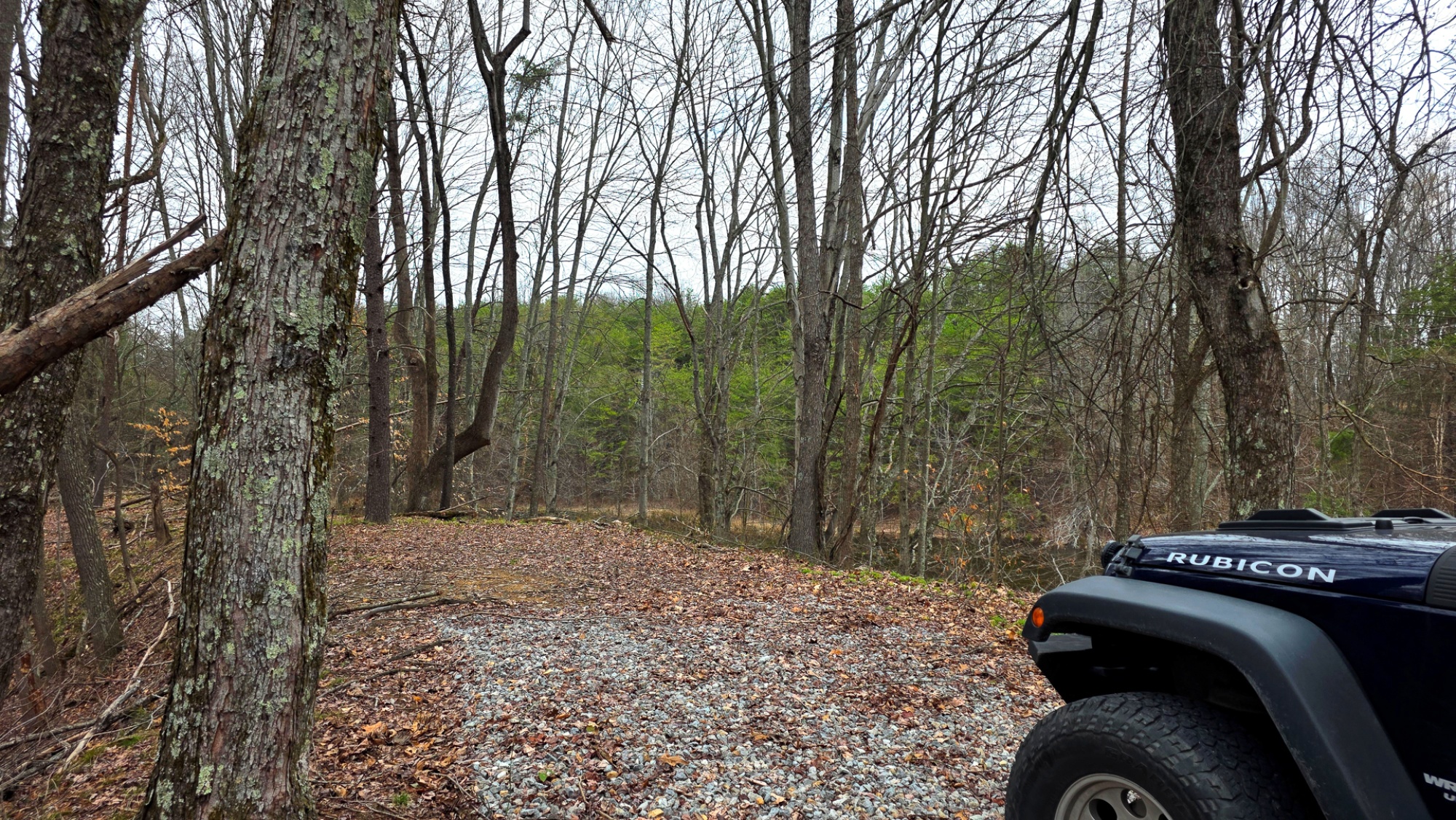
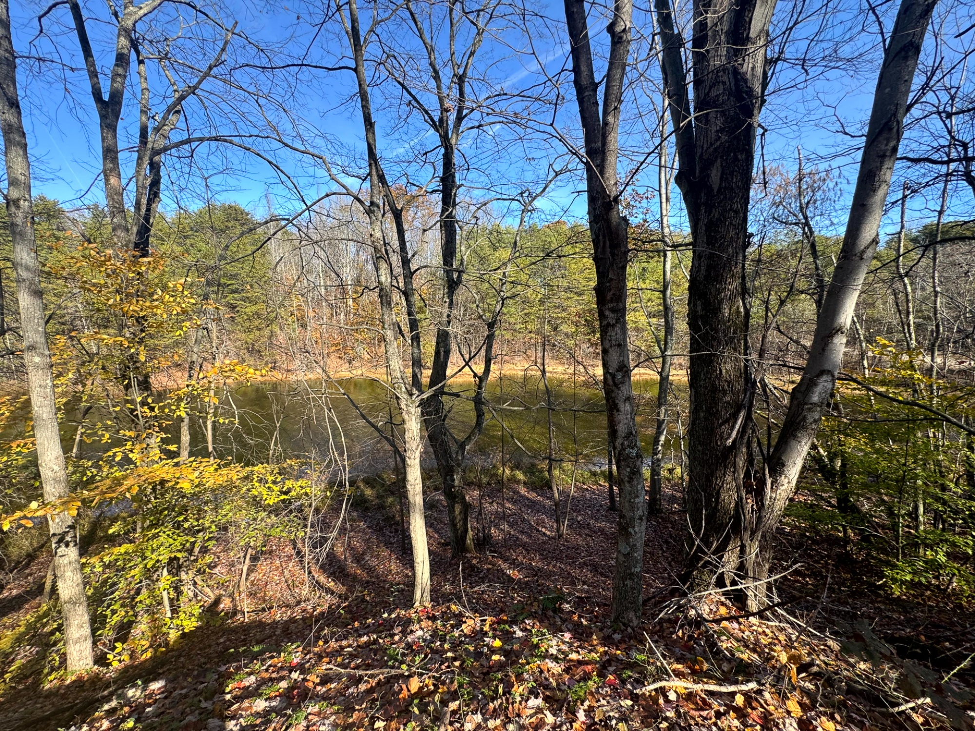
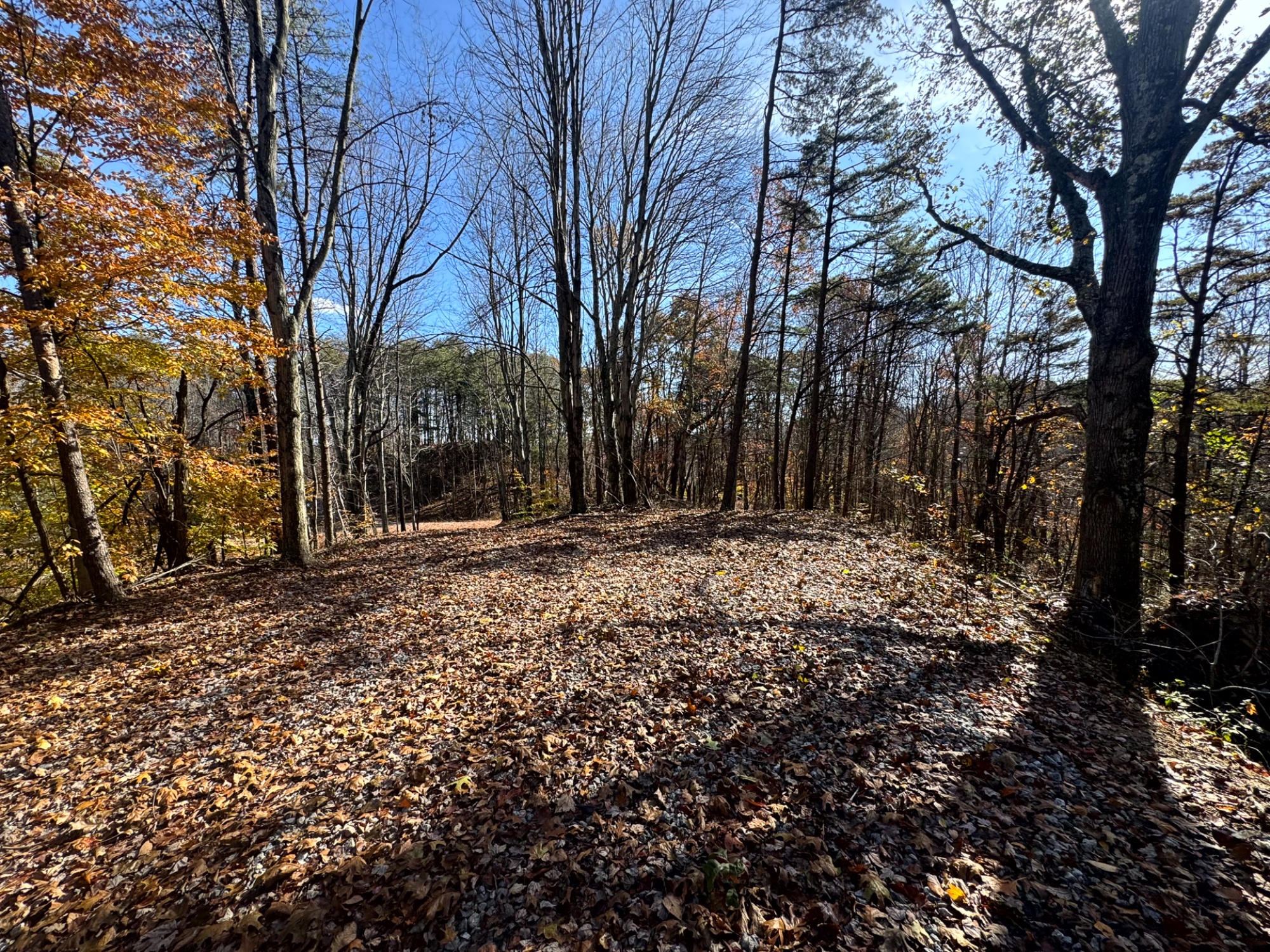
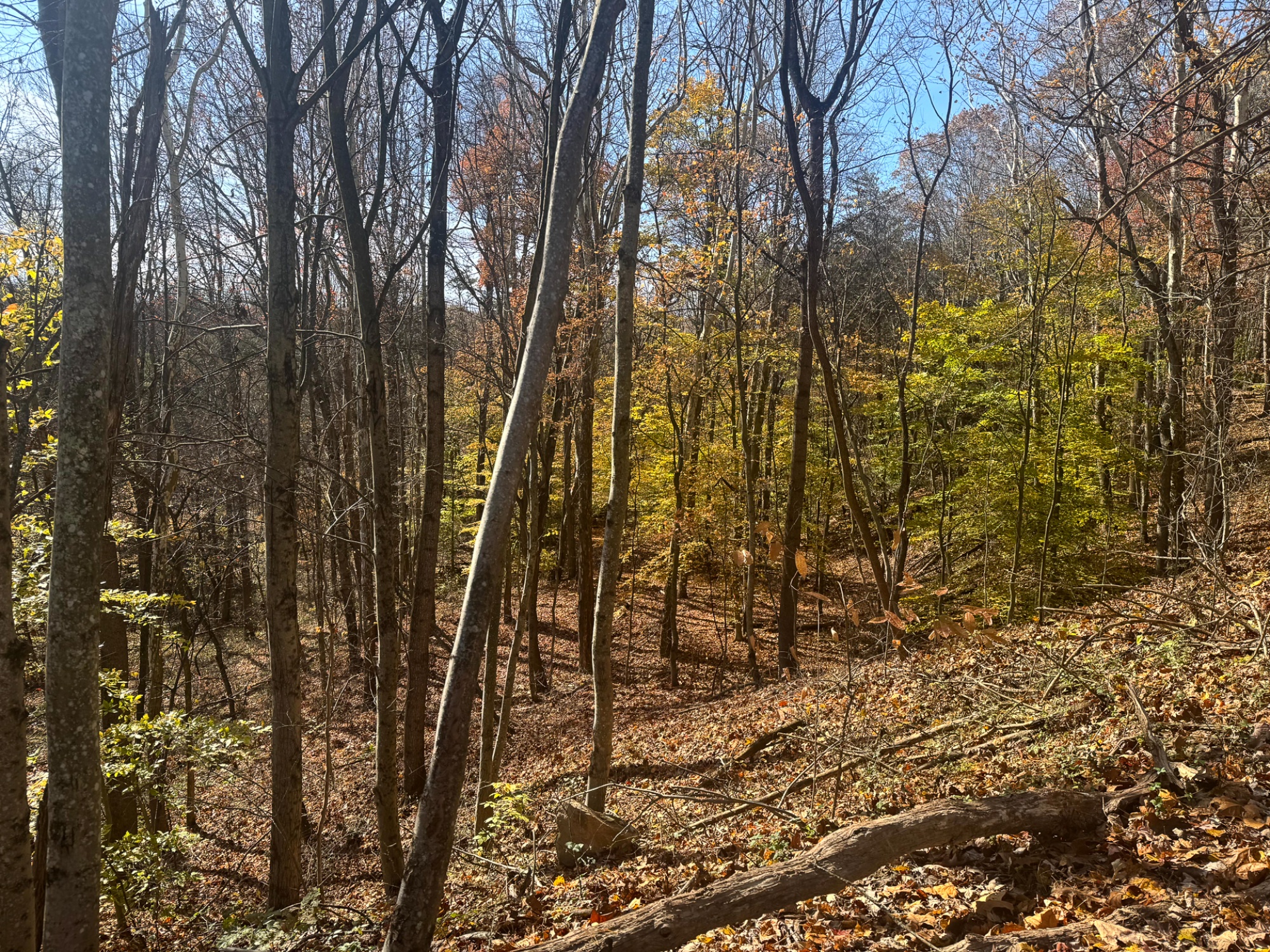
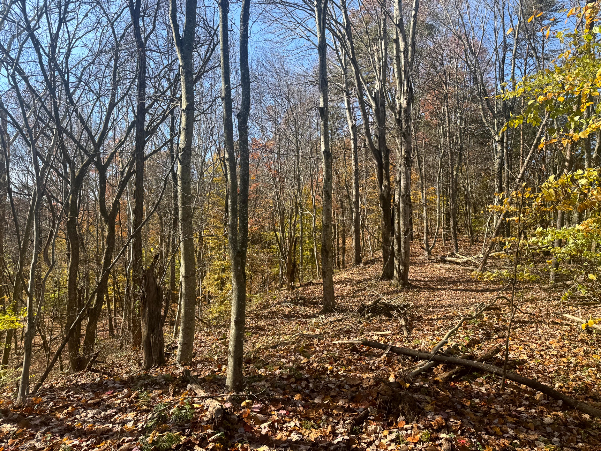
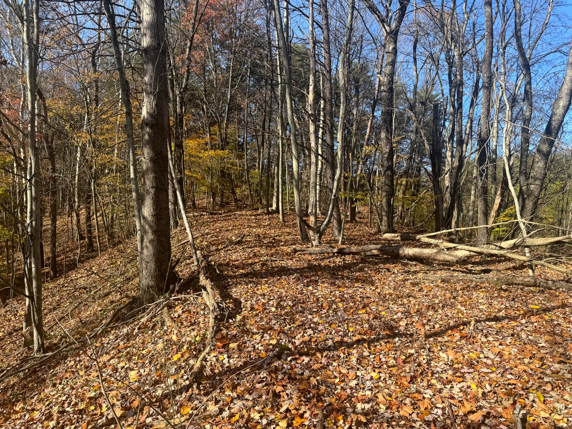
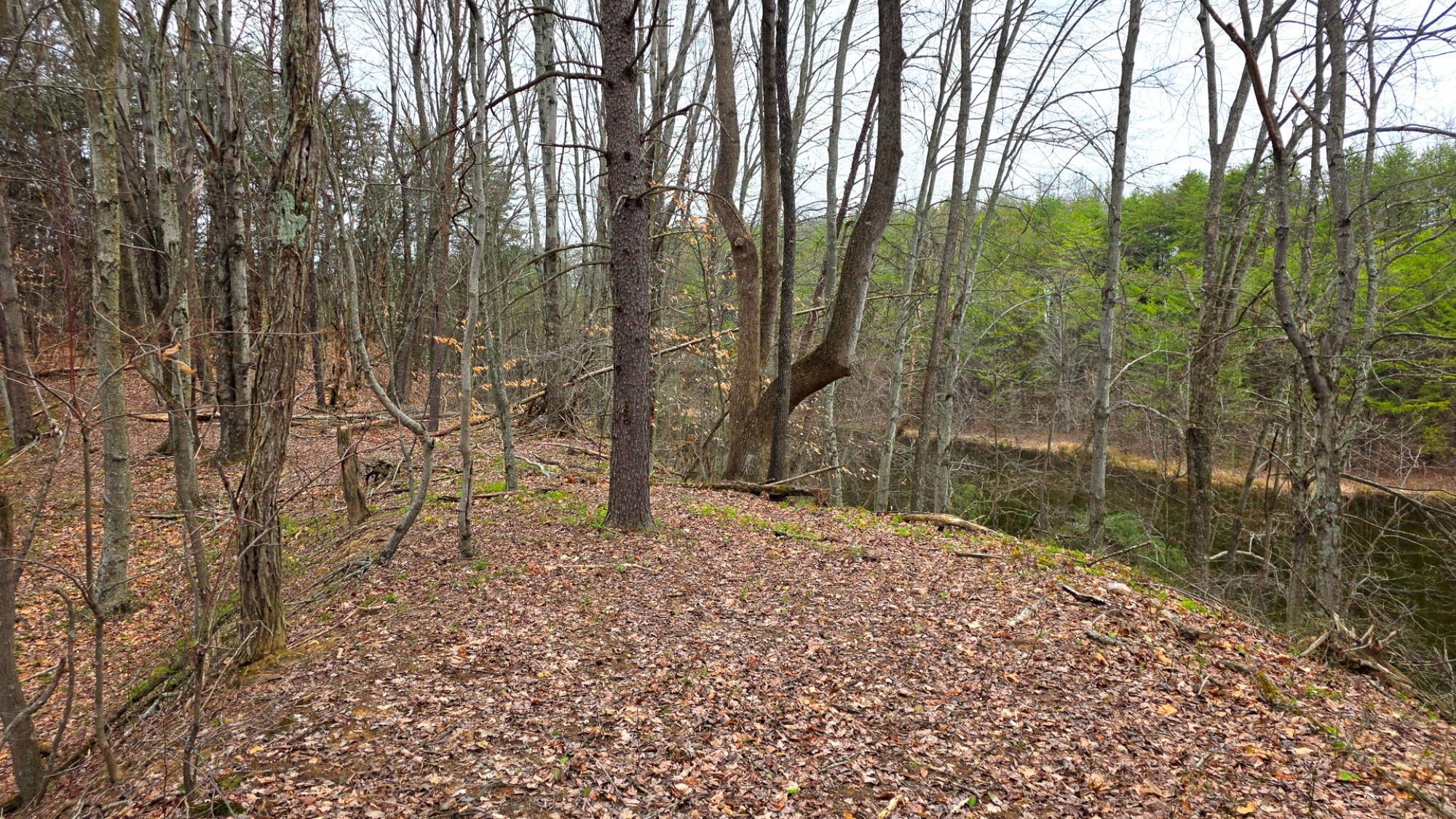
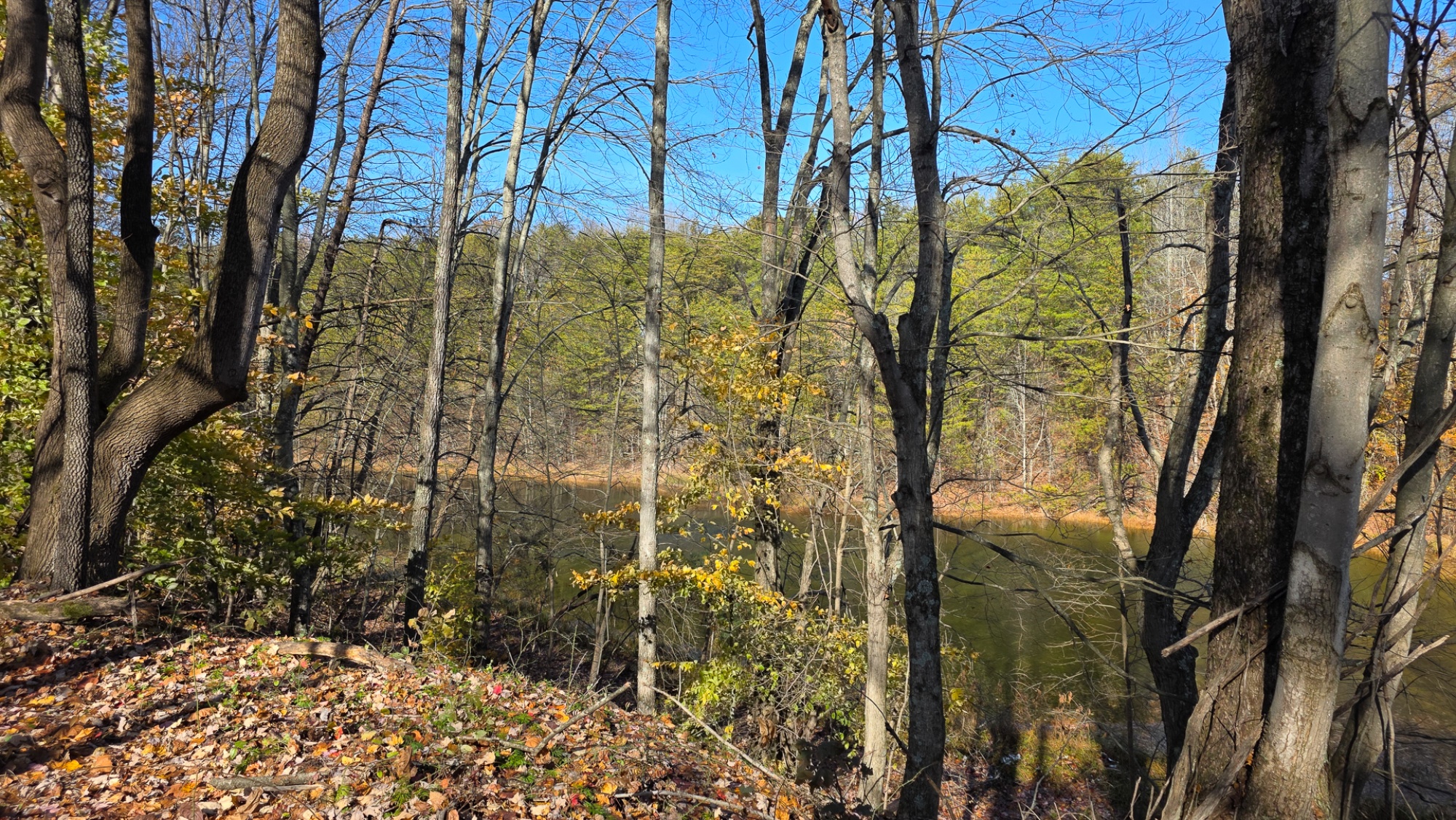
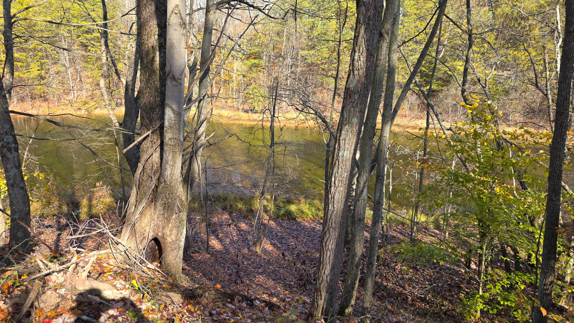
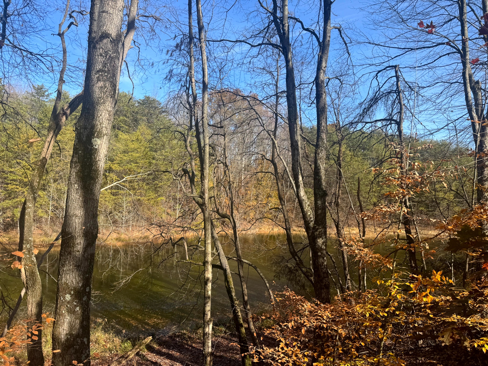
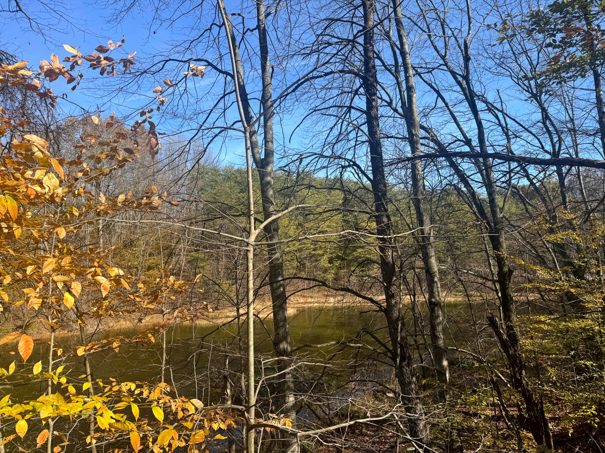
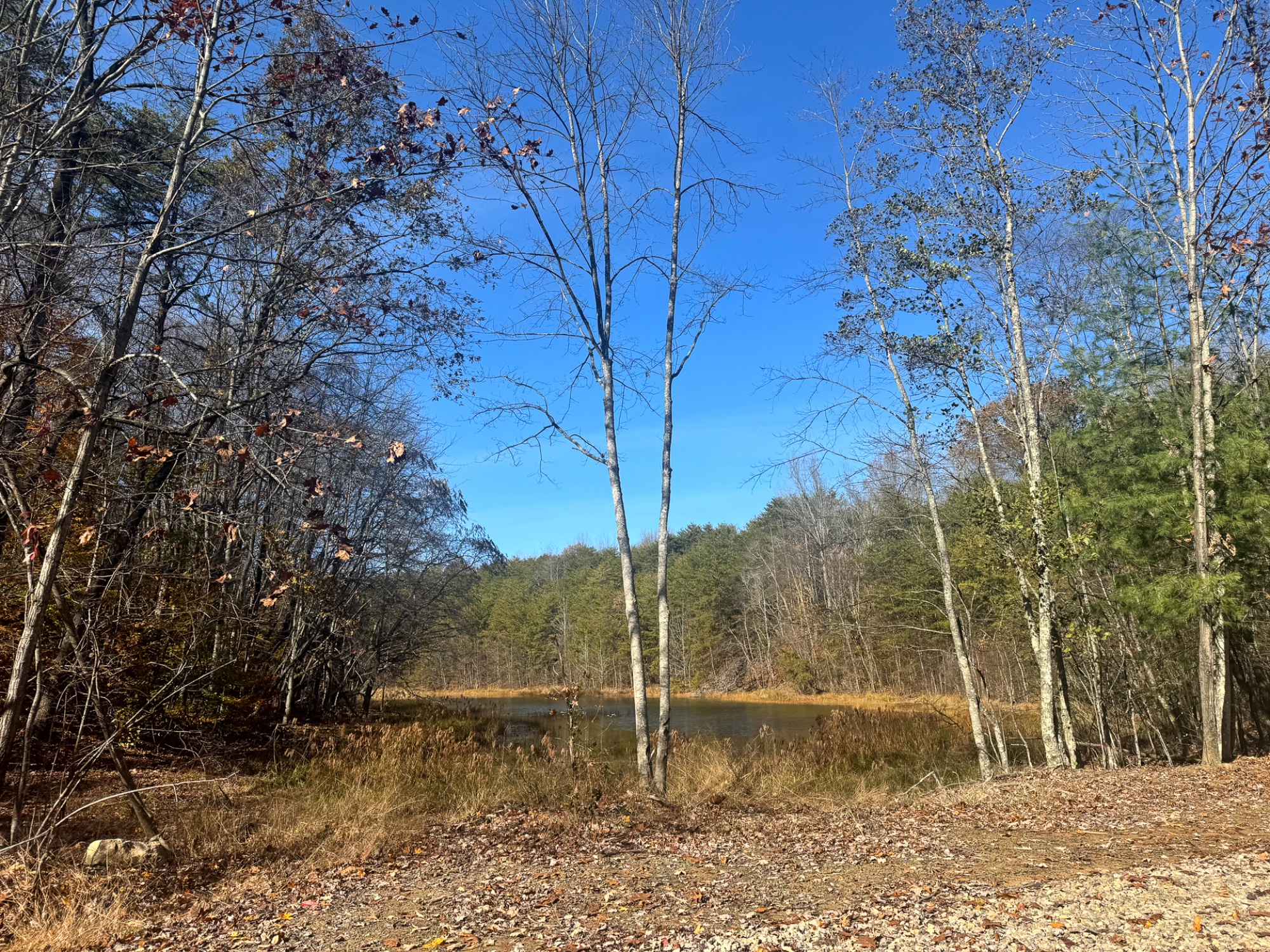
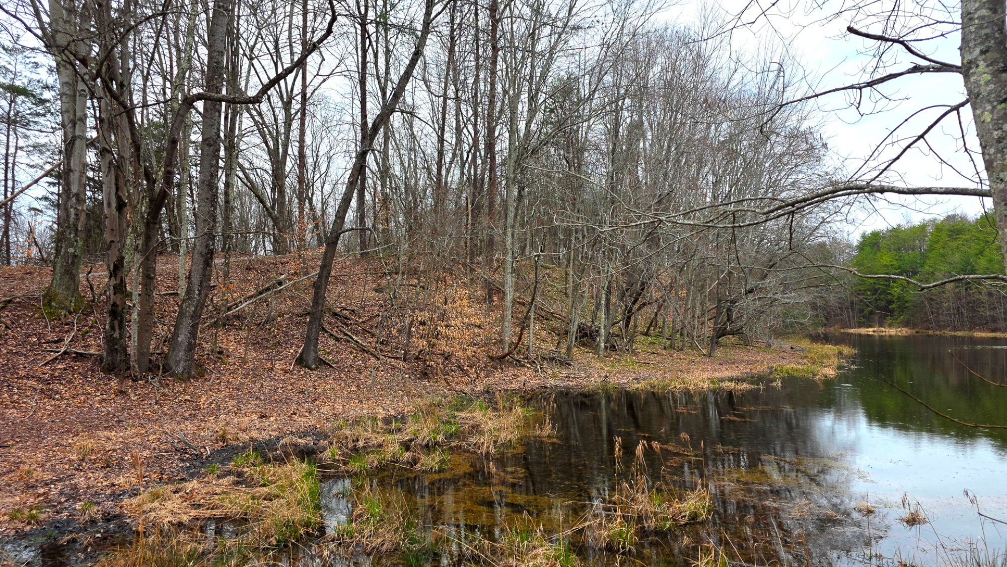
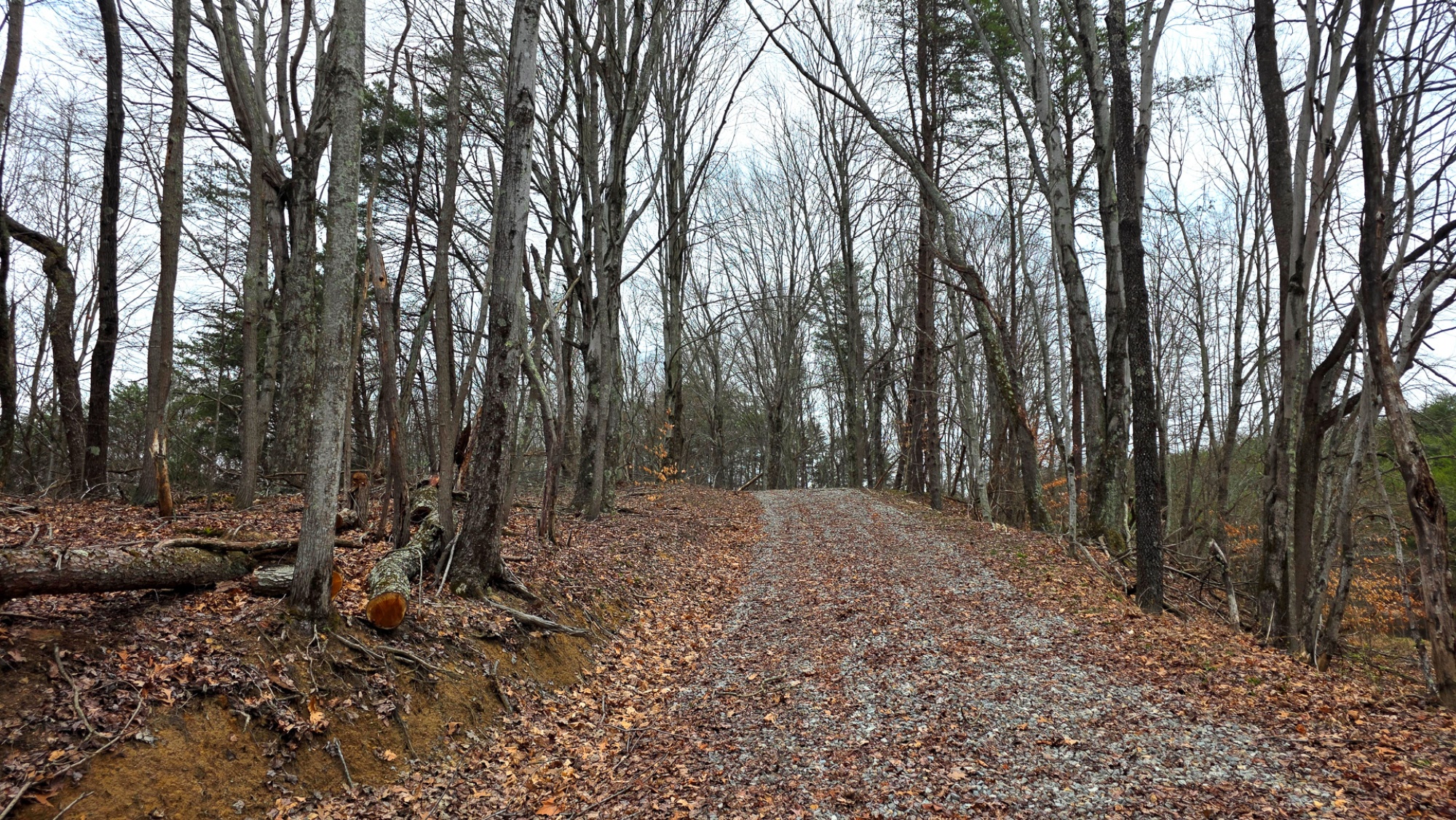
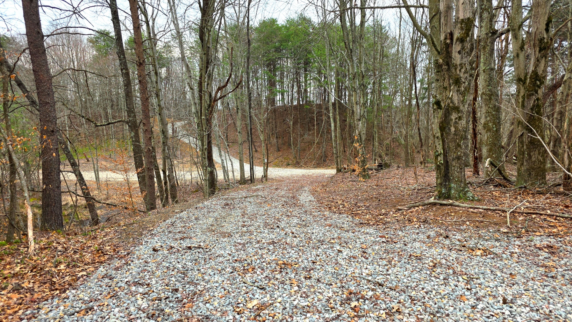
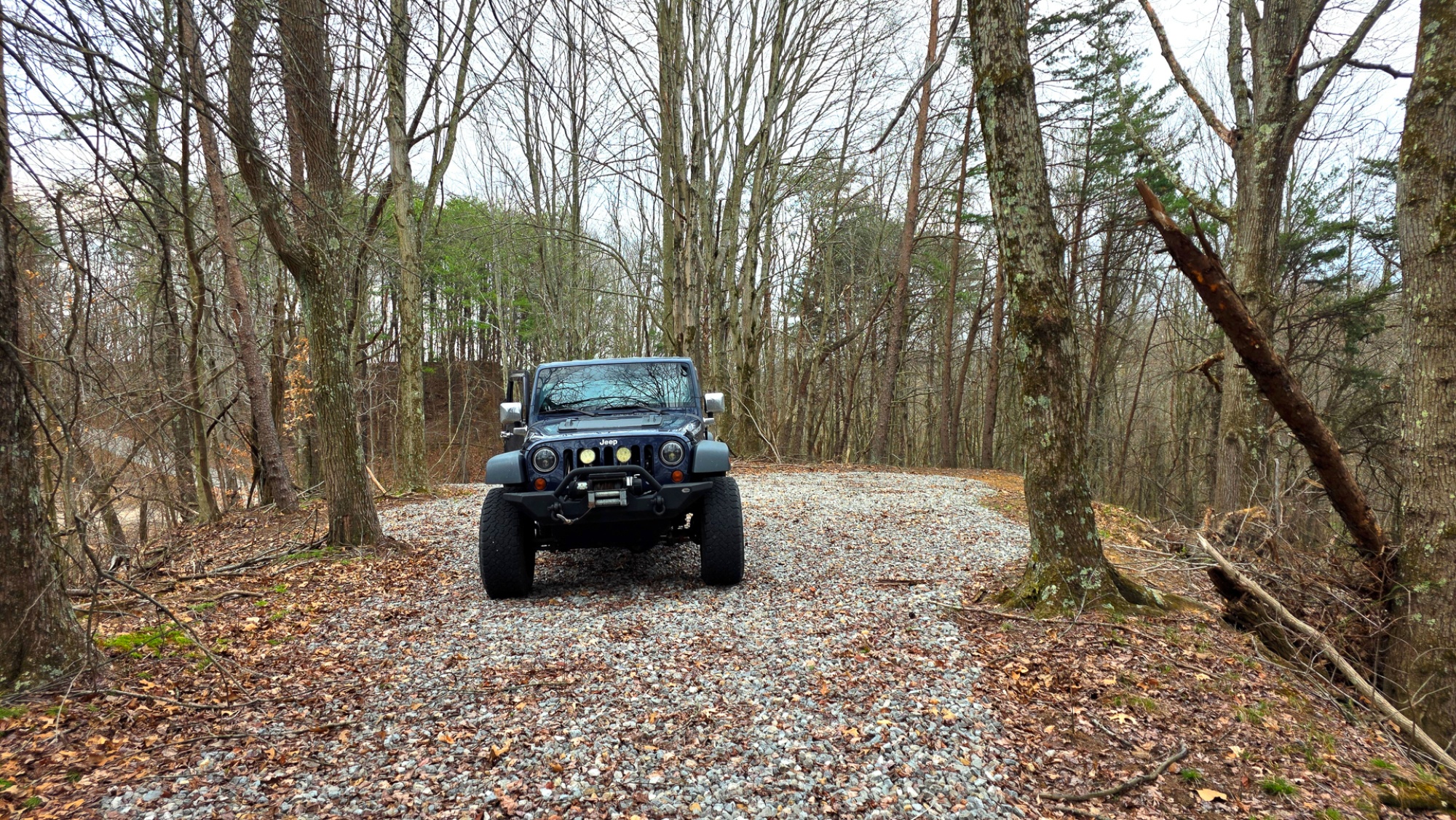
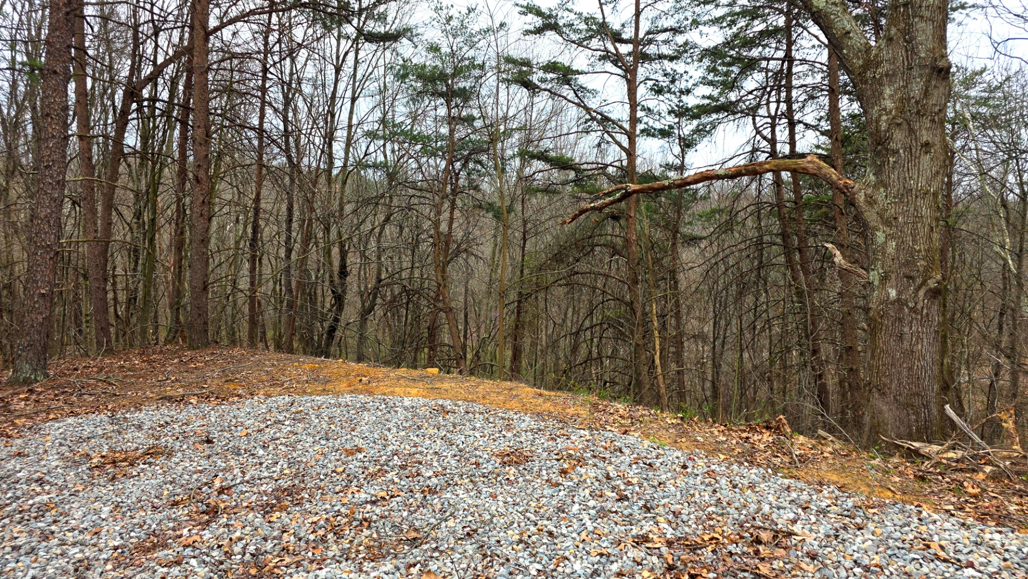
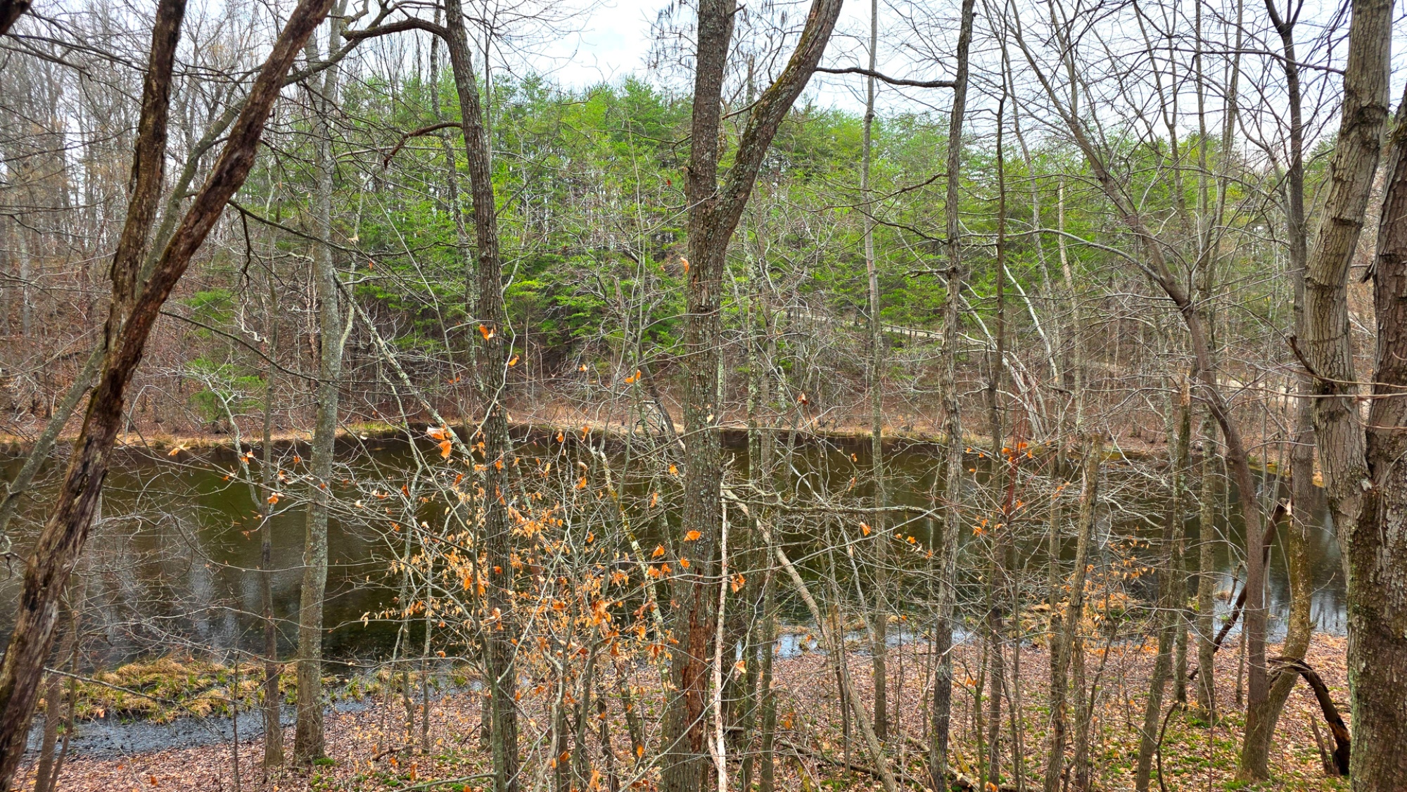
Tract 3 at The Ponds at Poplar Ridge offers 9.027 newly surveyed acres in a quiet, scenic setting ideal for a home, cabin, or recreational retreat in Cheshire Township, Gallia County. The centerpiece of the property is a beautiful 2.3-acre pond, creating a standout view and a peaceful focal point for the land. A prime build site sits on the hill overlooking the water, well suited for a walkout basement and positioned to take full advantage of the surrounding views. The land features mature open-canopy woods with trails already in place, making it easy to explore and enjoy the property right away. Rolling topography, a picturesque park-like setting, and the remote country feel combine to give this tract both character and usability. Wildlife is abundant throughout the area, with excellent deer and turkey hunting for those seeking a strong recreational property as well. Access is provided by a new private gravel driveway off a gated shared easement, offering a clean and attractive entrance. Buckeye Rural Electric is being extended to service the property, adding to its appeal for future improvement. With no zoning, minor deed restrictions, and additional tracts available, this is a rare opportunity to own a versatile and visually striking property in the Gallia County Local School District.
The Ponds at Poplar Ridge is Located:
830 Nibert Rd, Gallipolis, OH 45631
(Address may not map correctly, use GPS Coordinates)
GPS Coordinates : 38.938989, -82.203763
A Countrytyme advantage
Take the property lines into the field.
On your phone, tap Walk property lines, allow your location when asked, and follow the blue dot in Tract Explorer to see your position in relation to the mapped boundary while you explore.
Walk property linesProperty photos